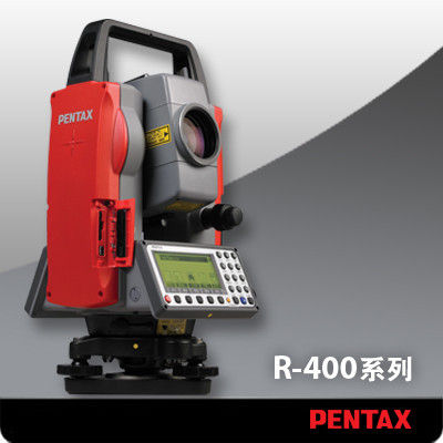
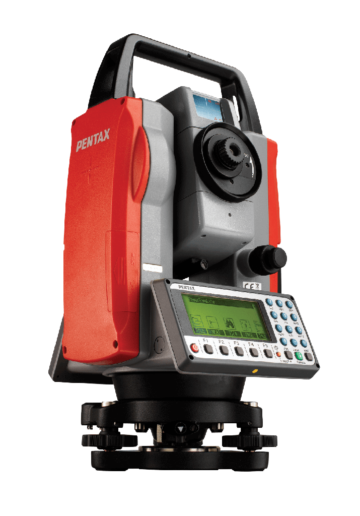
Pentax R-400
PRODUCT DESCRIPTION:
Pentax total station instrument types: Pentax optical system for R-422NM total station: Super multi coated lens, ensure the clear and precise sighting simple, powerful free prism measurement function: in addition to having a prism, a reflector plate measurement mode, also has a reflectorless 300 meters.
PRODUCT FEATURES:
PENTAX optical system: Super multi coated lens, to ensure clear and accurate sighting
L operation is simple, powerful, free of prism measurement function: in addition to a prism, reflective film measurement mode, but also with a non prism ranging 550 meters
L SD card slot: real mass storage. Can be convenient and quick to backup data to the SD card, to further ensure the security of data storage
L digital input keyboard: quick input number, letter and other special characters
L temperature and gas pressure automatic induction: automatic sensing of the outside temperature and air pressure, and automatic correction to improve the accuracy of measurement
L visible laser indicator: the sighting the target faster and easier, but also convenient to work in the tunnel, the night of the weak light environment
L laser: can adjust the laser intensity, so that the instrument is more convenient to set up
L three focusing system: according to the requirements, in the auto focus, electric focusing, manual focus of the three modes of free choice
L absolute encoding disc: starting point without the need to initialize, restart the angle to remain unchanged
L standard battery: standard cell design with high performance, convenient
L massive memory: memory can store 60000 measurement points (XYZ), the user can effectively complete any measurement and detection operations
Built in powerful PowerTopolite software, and load the road software module
On the basis of adhering to the Pentax total station instrument has powerful function and stable performance advantages, taking into account the user's convenience, practicality, R-400 more rich the software function:
1, increase road software
According to the coordinate parameters, generating and editing in the road side Pile Lofting line construction, convenient.
2, the post viewpoint deviation display increases ranging function, and compared with the design value
Always check the site accuracy, convenient field operation.
3, VPM display horizontal distance
Virtual surface survey shows the angle distance, convenient special user requirements
4, point to line height deviation
In the point to the line into the elevation control, more feature rich.
5, the direction and distance measurement display
Setting out increased in the graphical interface numerical display, intuitive and a measure to follow. After the formation of lofting lofting lofting deviation report, stick out a mile.
6, wire report function
Generate wire file
7, named fuzzy query
To facilitate users to quickly search, such as A*, A1/A2/ and AB.. Can be found...
8, other files from the source
To provide the point of different documents between the call, very practical.
9, instrument high measurement
In the case of the instrument is not easy, you do not need to measure the instrument is high, through the observation point can be reversed to calculate the high.
10, the establishment of the site with the least square method
The free site using least squares algorithm, effectively reduce the influence of small angle of precision or Arcturus station


![[HNA20100] Nikon XS Series Reflectorless Total Station (1 ", Optique)](/web/image/product.product/596/image_256/%5BHNA20100%5D%20%20Nikon%20XS%20Series%20Reflectorless%20Total%20Station%20%20%281%20%22%2C%20Optique%29?unique=844d5ef)
![[HNA40100] Nikon XF Series Total Station (1 ", Optique)](/web/image/product.product/588/image_256/%5BHNA40100%5D%20Nikon%20XF%20Series%20Total%20Station%20%281%20%22%2C%20Optique%29?unique=520698c)
![[S35511C-PB] Pentax SERIES R-200NS/P (NS)](/web/image/product.product/800/image_256/%5BS35511C-PB%5D%20Pentax%20SERIES%20R-200NS-P%20%20%28NS%29?unique=413d0ed)
![[S33561 C-PB] Pentax W-800NX Total Station (2")](/web/image/product.product/781/image_256/%5BS33561%20C-PB%5D%20Pentax%20W-800NX%20Total%20Station%20%20%282%22%29?unique=131f250)
![[SUMM-2002] Spectra Precision FOCUS 2 Series (2")](/web/image/product.product/1034/image_256/%5BSUMM-2002%5D%20Spectra%20Precision%20FOCUS%202%20Series%20%20%282%22%29?unique=61d13ee)
